
St. George Postal Coverage
These designations are a research table, not a substitute for the USPS address result. Standard delivery areas, PO Box designations, nearby postal cities, and city limits overlap in ways that can mislead a name or parcel search.
| ZIP | Area relation | Post office use | Note |
|---|---|---|---|
| 84770 | Standard St. George delivery area | St. George | Does not equal the full city boundary. |
| 84771 | St. George PO Box designation in local data | St. George | Do not replace a physical situs address. |
| 84790 | Standard St. George delivery area for portions of the city | St. George | Verify each street address. |
| 84791 | St. George PO Box designation in local data | St. George | Not a parcel geography. |
| 84765 | Nearby Santa Clara and southwest Washington County | Nearby postal area | UGRC notes a 2026 alignment with 84770. |
| 84780 | Washington, Utah postal area | Nearby postal area | Not automatically incorporated St. George. |
| 84737 | Hurricane postal area | Nearby postal area | County and postal maps differ. |
Use the USPS ZIP Code Lookup with street address, city, and state. The result is the delivery authority for that input, including ZIP+4.
St. George Postal Verification
A ZIP code lookup should begin with the complete address, including unit when known. Enter St. George and Utah, then save the returned ZIP and ZIP+4. A PO Box result should be labeled as a PO Box route. Do not copy a ZIP from a deed, directory, or old envelope when the question concerns current delivery.
- Enter the full physical or box address in USPS Lookup.
- Record the returned city, state, ZIP, and ZIP+4 exactly.
- Compare the address in St. George PowerMobile and county GIS.
- Use parcel, deed, assessor, or voter records for their own roles.
- At an edge, retain both the USPS result and the map caveat.
This sequence keeps a ZIP code directory grounded in a real address. It also protects against treating a nearby postal place as proof that a parcel sits inside St. George.
St. George Postal Boundaries
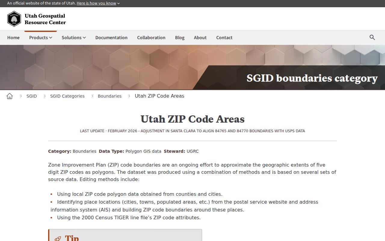
The Utah Geospatial Resource Center’s ZIP boundary layer is useful for spatial context. UGRC warns that ZIP polygons are approximate delivery areas, not municipal boundaries. The layer was last updated in February 2026 and draws on local ZIP polygons, USPS or AIS place locations, and 2000 TIGER materials. It can show how a postal area relates to St. George, Santa Clara, Washington, or Hurricane, but USPS remains the address-level authority.
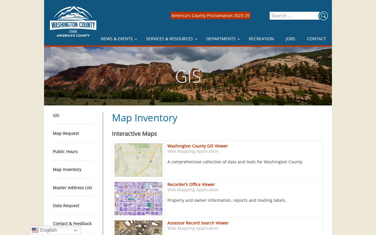
Washington County GIS supplies a separate city-limit layer with parcels, subdivisions, streets, zoning, flood zones, contours, and streams. A parcel can fall inside St. George while its mailing city, route, or ZIP uses a different label. A map point near a post office only shows facility geography. It does not prove the delivery ZIP of a private address.
The UGRC ZIP boundary page explains the approximate nature of the Utah map.
St. George Postal Types
84770 and 84790 are working designations for standard St. George delivery areas in the research. 84771 and 84791 are shown as St. George post-office or PO Box designations. A PO Box ZIP is tied to a postal delivery route, not to a land parcel. If an old record has 84771 or 84791, preserve that field and ask whether the address was a box, agency, or mailing destination.
ZIP+4 is more precise for a delivery point, but it still does not change a postal record into a resident record. For property work, use the physical address and parcel. For a tax notice, distinguish the situs from the mailing destination. For a voter file, distinguish residential and mailing fields. A ZIP code directory should show the type of address used at every step.
- ZIP code
- A postal delivery area used by USPS, not a municipal boundary.
- ZIP+4
- An added four-digit delivery detail returned for a specific address.
- PO Box ZIP
- A postal designation for box delivery, not a parcel location.
- Carrier route
- A delivery path within postal operations; it is not a neighborhood roster.
St. George 2026 Postal Adjustment
UGRC records a February 2026 adjustment aligning 84765 and 84770 with USPS data near Santa Clara. The street did not need to move for its ZIP polygon or delivery alignment to change. This timely record is a good reason to place the retrieval date beside every ZIP result.
Older telephone books, deeds, permits, and voter products can carry a postal value that was valid for that source’s time. When an old address is being reconstructed, keep the historic ZIP, check the current USPS result, and compare the county city-limit layer. Do not rewrite the old record simply because a modern code looks more familiar.
St. George GIS Postal Search
Washington County’s parcel search offers Account Number, Parcel ID Number, or Address as methods. The St. George PowerMobile global search accepts address, street name, subdivision, or tax ID, then provides parcel-identify and feature-identify tools. Neither portal documents a complete ZIP-specific resident mode. A ZIP is usually a filter or a field inside a broader address record.
| Portal or field | Use and limit |
|---|---|
| USPS address, city, state | Required address-level route; returns ZIP and ZIP+4. |
| County GIS address | Finds a parcel; exact ZIP field is not published. |
| County Account or Parcel ID | Links a postal address to land research. |
| PowerMobile global search | Address, street, subdivision, or tax ID; ZIP filter not documented. |
| Utah voter residential/mailing address | Product field, with privacy and at-risk limits. |
| GRAMA description | Can request an existing ZIP-based record with date span; not a live directory. |
After the ZIP narrows the area, detailed street work belongs in the St. George street directory address workflow. Keep the postal and parcel identifiers side by side.
St. George Postal Map Layers
One St. George address can sit inside a ZIP polygon, city limit, parcel, subdivision, school district, election precinct, and neighborhood label that do not match. The county map inventory lists election, street, parcel, subdivision, and city-limit layers. The city ArcGIS Places service labels Bloomington Hills, Little Valley, Sunbrook, and Tonaquint as map areas. A GIS label is not proof of a legally organized association.
Utah voter products use residential and mailing address, county, precinct, and district fields. A voter data request has its own price, freeze dates, and protected-record exclusions. Do not use a ZIP to infer a person’s precinct or voting history. Use the election office or current official map for that narrower question.
St. George Address History
St. George’s grid has older references that do not always map cleanly to current strings. WCHS places the former Washington County News building at 23 East 100 North, while modern local references use St. George Boulevard. A local history also notes that old 100 West is no longer present. The exact change year was not located.
For an old address, search the historical name, retain the old number, inspect a period telephone book or newspaper, and compare a plat, deed legal description, city GIS, and Sanborn guide. A modern ZIP should be added after the historic identity is understood. This approach avoids turning a postal correction into a false identity match.
The Washington County map inventory provides the parcel and city-limit context needed at an address edge.
St. George Boundary Checks
At a boundary, write down the exact source and date. The USPS result answers delivery for the submitted address. UGRC gives approximate polygon context. County GIS shows the parcel and city limit. The city map may add a subdivision or facility. A period source can explain why an old ZIP or street name looks different.
| Check | Question answered | Do not infer |
|---|---|---|
| USPS | What ZIP and ZIP+4 serve this input? | Who owns or occupies it |
| UGRC | How does the approximate ZIP polygon sit? | Exact delivery boundary |
| County GIS | Which parcel, subdivision, or city limit applies? | Complete household list |
| Recorder / Assessor | What property or transfer record exists? | Current occupancy |
| Voter / period source | What civic or historical clue is public? | Every resident at the address |
These limits are why the St. George ZIP code directory is most useful as the first cut of a larger records search.
St. George Postal Limits
A ZIP code does not prove that a person lives in St. George, owns a parcel, belongs to a subdivision, votes in a precinct, or receives mail at a particular unit. It is a routing value. A public voter record, deed, assessor report, or telephone listing carries a separate meaning and date.
Use the current delivery source. Start with USPS for the exact address, then keep the UGRC approximation and county city-limit layer labeled as map context. Do not publish a private person’s address merely because a postal tool returned it.
For one name, move to the St. George resident lookup. For a street, move to address-keyed GIS and deeds. For historical residents, use dated books, newspapers, census, and Archives. A ZIP narrows the map; it does not finish the person search.