
St. George Neighbors Coverage
A block around an address is assembled from spatial, legal, civic, and community layers. Each source answers a narrow part of the neighborhood question.
| Source | What it shows about a block | Access |
|---|---|---|
| County GIS Viewer | Parcels, street centerlines, subdivisions, city limits, zoning, flood zones | Public map inventory |
| St. George PowerMobile | Address, subdivision, tax ID, parcel and feature identify tools | Public city map |
| Assessor report | Valuation, property report, images, sketches, ownership label | Public search link; fields vary |
| Recorder deed / plat | Recorded owner interest, legal description, lot and boundary context | Index, copies, certification |
| Public voter fields | Registration address, precinct, party, participation where public | State and county routes |
| City Places layer | Facilities and GIS neighborhood/subdivision labels | Public ArcGIS service |
Use the map sources first. Names come only after the parcel, source role, and date are clear.
Find the St. George Block Parcel
Normalize the address with USPS, then open Washington County GIS. The Quick Start guide shows “Search for a Parcel By” with Account Number, Parcel ID Number, or Address. Choose the method, continue, select the filtered parcel, and read the highlighted result. St. George PowerMobile accepts address, street name, subdivision, or tax ID in its global search and offers parcel-identify and feature-identify tools.
- Save the complete address, unit, ZIP, and ZIP+4 as entered.
- Find and highlight the subject parcel in county GIS.
- Turn on parcel, street, subdivision, and city-limit layers.
- Identify the touching parcels and note their IDs or map location.
- Use assessor or Recorder records only for the parcel and date shown.
“Adjacent” means a spatial relationship in the current layer. It does not mean the same block, postal route, school district, or association. A corner lot may touch a street on two sides.
St. George Block GIS Layers
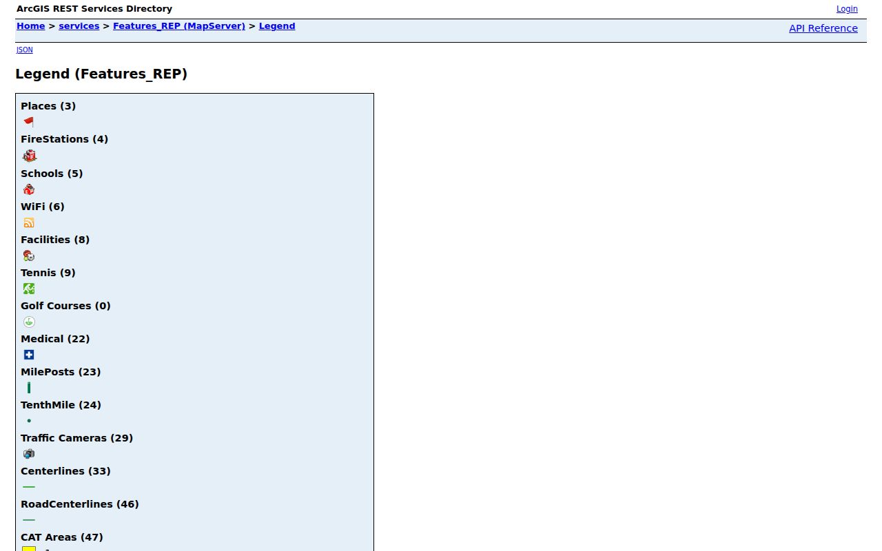
Washington County GIS lists parcels, subdivisions, street centerlines, contours, streams, city limits, flood zones, zoning, ownership plats, aerial routes, and map viewers for several offices. The city ArcGIS Places legend includes public facilities such as the library, City Hall, Fifth District Court, Health Department, Police Station, and St. George post offices. Its neighborhood or subdivision layer names Bloomington Hills, Little Valley, Sunbrook, and Tonaquint.
These are map labels, not proof that a legally organized neighborhood association exists. A nearby public facility can help orient a block but says nothing about who lives there. A ZIP polygon can overlap a city limit without matching it. Use the layer name and retrieval date beside every map note.
The St. George ArcGIS Places legend identifies the city’s facility and neighborhood map layers.
St. George Block Records
The map can show which parcels touch. The Assessor may add an ownership label, report, image, or sketch. The Recorder can supply the instrument and legal description behind a recorded transfer. A public voter field can show a registration address where the record is not protected. These signals should be written as separate claims.
County GIS warns that owner name and mailing address are separate from basic parcel data and may be available through a paid Public Extract or Assessment Roll. A mailing address can be outside the parcel. A deed owner may not be an occupant. A voter may be protected or registered at a different lawful residence. Do not turn a map’s “Ownership” label into a list of every neighbor.
Process flow: address → highlighted parcel → touching parcels → owner or deed label → public civic field, if available → date and source check. Each arrow can stop.
St. George Neighbor Property Records
The Assessor keeps valuation and property reports. Washington County says real property is appraised at 100 percent of market value as of January 1 each year, with notices mailed at the end of July. The Recorder keeps recorded instruments, maps, plats, cross-reference indexes, and certified copies. The Recorder, not the Assessor, is the route for legal descriptions and recorded ownership transfers.
| Field or layer | Interpretation |
|---|---|
| Parcel / account number | Identifies mapped land for follow-up. |
| Subdivision name | Places the parcel in a recorded or GIS area label. |
| Ownership | Use the live label exactly; presentation may vary. |
| Mailing address | Correspondence destination, not necessarily the parcel or occupant. |
| Legal description | Land identity used in deeds and plats. |
Recorder copy fees include $1 per official-record page and $5 plus page charges for certification. A map screenshot and a certified instrument are different evidence.
St. George Block Voter Limits
Utah voter information can include legal name, physical and mailing address, year or age range, party, and vote history. Full date of birth, Social Security number, driver or state ID, email, phone, and signature are private. Vote history shows participation, not how someone voted. At-risk and Safe at Home protections can hide more of a record.
The April 2026 Lieutenant Governor release describes SB153 implementation on May 25, 2026. The current state privacy page should control over the older withholding form. County or district lists go through Washington County Elections, while statewide products have a stated price and product limits. A neighbor map should never be built by trying to defeat a protected record.
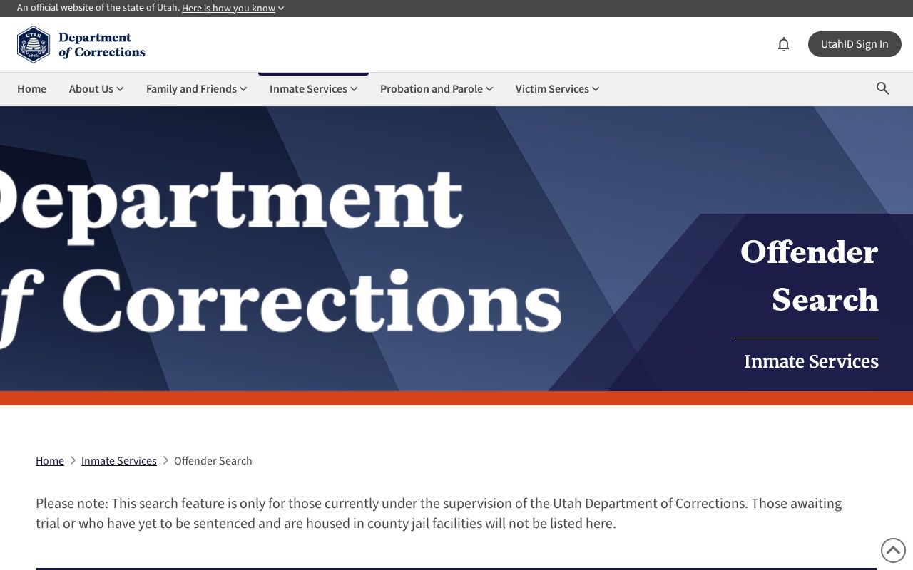
The Utah official search portal is an example of a separate state record route, not a block directory.
St. George Area Labels
St. George’s Places service names Bloomington Hills, Little Valley, Sunbrook, and Tonaquint in a neighborhood or subdivision layer. The label can help sort a map, find a public facility, or compare a parcel with local geography. It does not prove an HOA, residents’ group, membership list, or legal boundary.
The research did not locate an official current St. George neighborhood-association directory. Ask the city or a known umbrella organization for the proper contact rather than treating a GIS place label as an association. City offices are at 175 East 200 North and use (435) 627-4000 as the main starting contact. A defined GRAMA request can ask for an existing city-held association, permit, or map record.
St. George Civic Places
The city Places layer identifies public facilities including a library, City Hall, Fifth District Court, Health Department, Police Station, and St. George post offices. Facility proximity can explain which public counter or service is nearby. It cannot identify a private household. Washington County Library’s St. George branch is at 88 West 100 South, and the Southwest Utah Public Health Department’s county office is at 620 South 400 East.
For a community question, consult the library’s local-information page, WCHS, Utah Tech, or an official city contact. Local directories and rosters may be held by a group, but no verified master association directory was located. Preserve the distinction between a public place, a map area, and a person record.
St. George Block History
WCHS telephone books can place historical subscribers on a street when the printed address appears. The 1954 St. George section is on pages 4 through 33; 1958 and 1961 use different local page ranges. Utah Tech’s WASH-051 physical collection covers 1971 through 2022 with gaps. A census can add household age and relationship context, while a newspaper can record a move, event, or civic notice.
Phone books are not current records. WCHS traces ORchard 3 to 673 and then 435, so old number searches need exchange conversion. A missing listing may be an unlisted phone, a move, a gap, or a different regional scope. For whole-street work, use the separate St. George street directory address chain.
St. George Block Privacy Limits
Utah Safe at Home gives qualifying survivors of abuse, domestic violence, stalking, trafficking, and sexual assault a substitute address for government interactions. The actual address is concealed except for lawful court or government access. Do not reverse it through parcel geometry, voter fields, court records, library clues, or social information. A blank field may be a safety measure.
Lawful personal use. Neighbor research can support family history, civic orientation, property curiosity, or a defined records need. Do not use names, maps, or address records to stalk, harass, intimidate, or harm any person.
Official rolls and commercial neighbor tools also differ. Government records have a custodian, classification, date, and stated purpose. A commercial profile may compile public and purchased data with unknown freshness. Neither should be treated as permission to expose protected information. When a match is uncertain, stop and ask the custodian.
| Layer | Useful claim | Unsafe leap |
|---|---|---|
| GIS | Parcels touch or sit near one another | Every person in the parcel |
| Deed | Recorded interest or transfer | Current occupant |
| Voter | Public registration signal | Complete block roster |
| Phone book | Dated subscriber clue | Current neighbor identity |